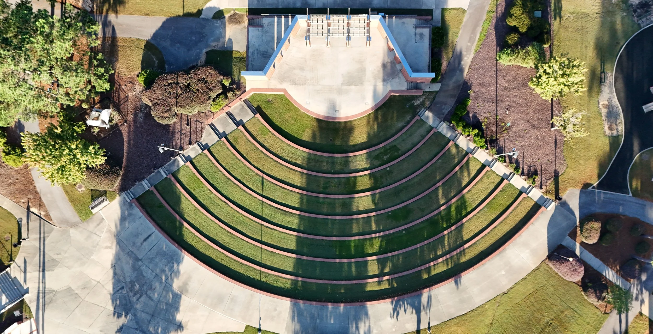
Need imagery for a map or your GIS? Get an orthorectified and georeferenced photo for your GIS needs.
Can use a single nadir image or make an orthomosaic image from numerous photos in order to create a single composite.
Up to 20 acres or less.
Finished images can primarily offered in .tif format of various sizing.
NOTE: Due to GA trespassing and privacy laws, we will only be able to fly over your own property and public areas.
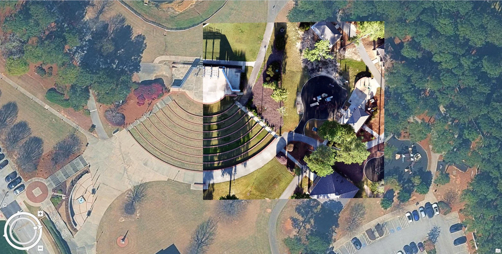