Open Land to sell? No Problem! Let us capture your property from a bird's eye view!
Service comes with 10 MLS-Compliant (Multiple Listing Services) images of your property from different aerial angles and directions :
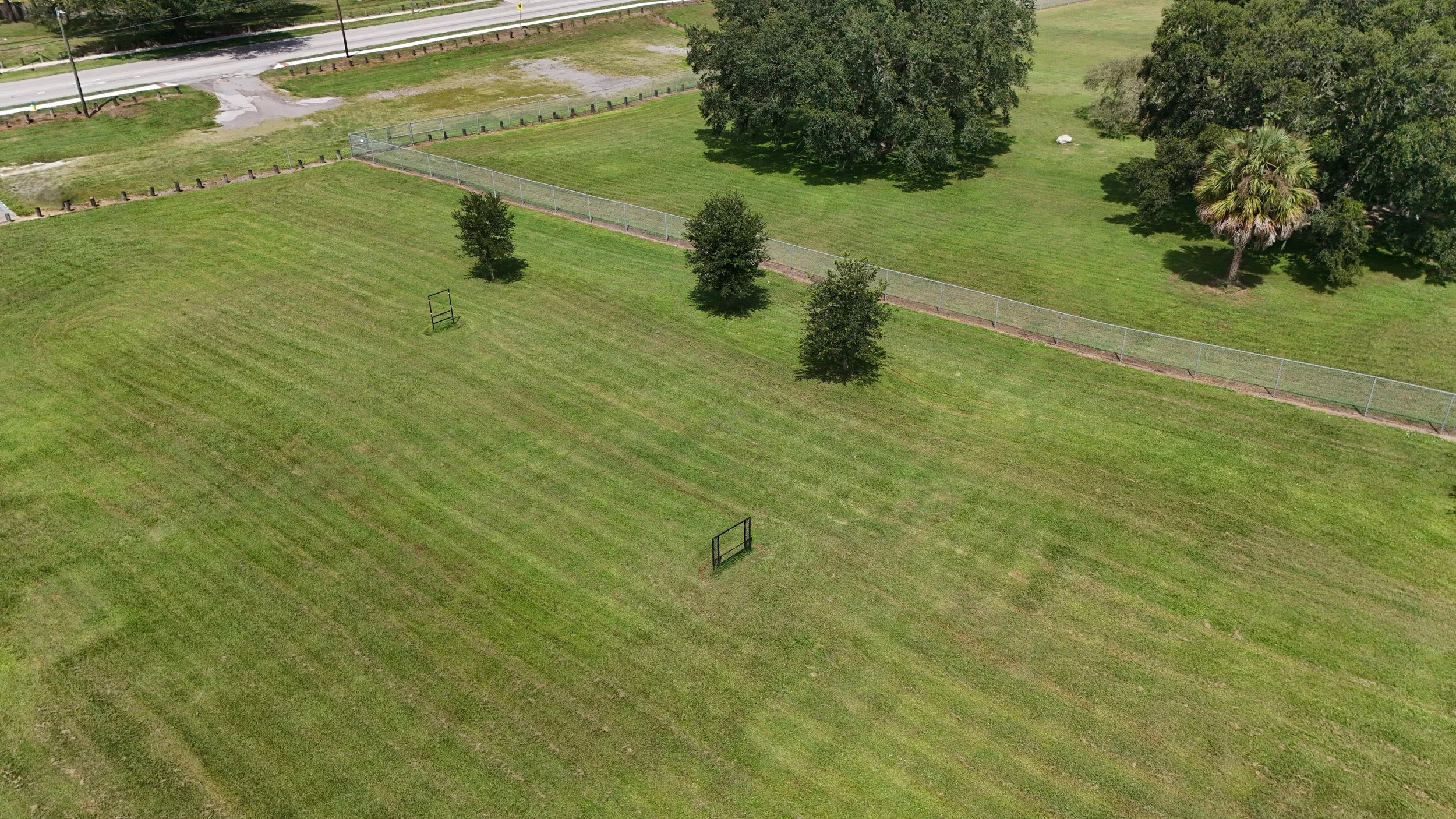
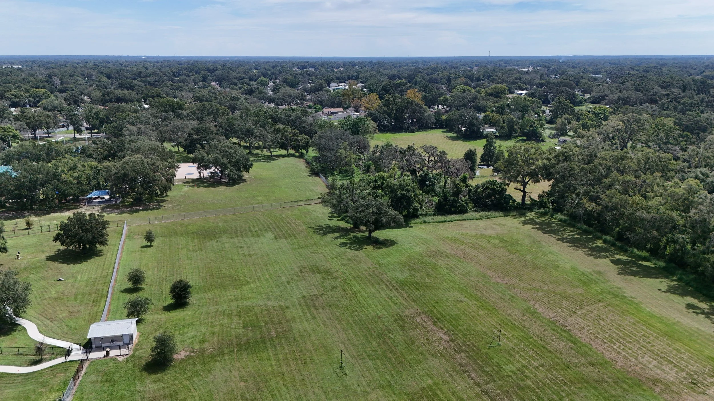
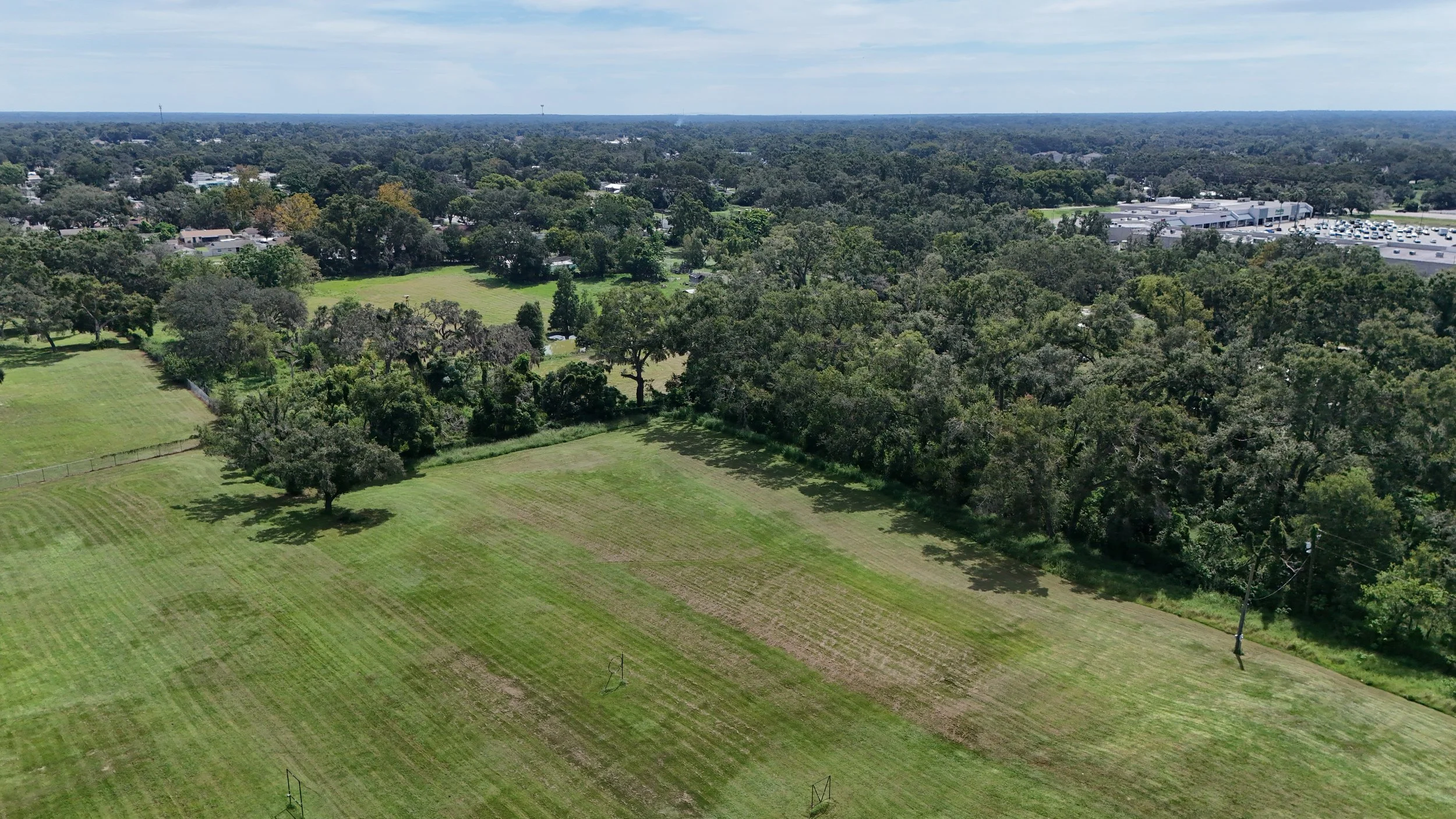
Aerial Overview: High-altitude drone shot showing the entire property (if possible up to (up to 400ft)) , boundaries, and surroundings.
Directional Angles: Key compass or diagonal views (front, rear, both diagonals) for orientation.
Road/Access Shots: Clear photos of entryways, gates, driveways, and main road frontage.
Boundary Reference: Photos for marking boundary lines
Photos come as .jpg in a 4:3 ratio with a standard resolution of 8064 × 6048. If you need a particular size, or 16:9 aspect ratio, let us know!
NOTE: Due to GA trespassing and privacy laws, we will only be able to fly over your own property and public areas (not your neighbors!) and thus may be prevented from capturing your property at these precise directions every time.
Open Land to sell? No Problem! Let us capture your property from a bird's eye view!
Service comes with 10 MLS-Compliant (Multiple Listing Services) images of your property from different aerial angles and directions :
Aerial Overview: High-altitude drone shot showing the entire property (if possible up to (up to 400ft)) , boundaries, and surroundings.
Directional Angles: Key compass or diagonal views (front, rear, both diagonals) for orientation.
Road/Access Shots: Clear photos of entryways, gates, driveways, and main road frontage.
Boundary Reference: Photos for marking boundary lines
Photos come as .jpg in a 4:3 ratio with a standard resolution of 8064 × 6048. If you need a particular size, or 16:9 aspect ratio, let us know!
NOTE: Due to GA trespassing and privacy laws, we will only be able to fly over your own property and public areas (not your neighbors!) and thus may be prevented from capturing your property at these precise directions every time.